GTA 6 / Tool
GTA 6 Interactive Map
Leonida and Vice City, marker by marker: every place the community has pinned from the trailers and screenshots.
Map size
How big is the GTA 6 map?
Rockstar has not published a map, but the size figures Hazard shows on screen in his October 10, 2026 video are attributed to Rockstar's Rob Nelson: Leonida is about twice the playable area of GTA 5 and three times that of Red Dead Redemption 2, Vice City alone is about twice the size of Los Santos, and the built-up area outside Vice City is about 11 times the built-up area outside Los Santos. They reach us second hand, through a post Hazard displays, so treat them as reported rather than published by Rockstar.
Laying GTA 5's map over the community map, Hazard finds Leonida does look about twice the size. His own prediction goes further: because most of GTA 5 north of Los Santos is empty countryside, he expects GTA 6 to feel four or five times bigger in actual things to do. That is his estimate, not a figure from Rockstar.
Layout
How Leonida is laid out
The map above is the community's, pinned place by place. Its latest version (V16) adds what the Extended Look showed and the clips a leaker posted in August. Hazard reads it like this:
- Vice City sits on the east coast, surrounded by its own counties and suburbs.
- The Leonida Keys run along the bottom of the map, Leonida's version of the Florida Keys.
- The Grassrivers fill the southwest, a marsh based on the Everglades, where he expects airboats and alligator hunting.
- Port Gellhorn is up the western coast, split into an industrial half and a residential half joined by two bridges.
- Ambrosia lies to the west, next to a large lake the map calls Lake Leonida, after Lake Okeechobee.
- Mount Kalaga National Park and the mountains of the north close the map, with a highway ringing the park.
He also points to much more water than in past GTA maps, with rivers, streams and canals that make the boat a real way to travel, and small airfields scattered across the state. He thinks the overall layout is close to final, while areas such as Key West are still debated by the mapping community.
On the community map
New places to know
- Hamlet: a suburb southwest of Vice City, based on Homestead, with a raceway and the wrestling ring from the Extended Look geolocated there by the community.
- Capri: a city on the southwest side, which Hazard reads as a mix of Naples, Sebring and Lakeland, with a central park, a pier and a lake.
- Gellhorn International Raceway: north of Capri, the circuit seen in the Extended Look. Hazard says analysts read it as a blend of famous tracks rather than Sebring alone.
- Draper Island: the industrial half of Port Gellhorn, with a giant refinery-like factory, warehouses and cranes.
- Watson Bay: a small harbor town beside the Grassrivers, with an airport the map labels Cedar Key Airport.
A fan map, not Rockstar's
Source video
Everything we know about the map, by Hazard
Leonida
Explore by Region
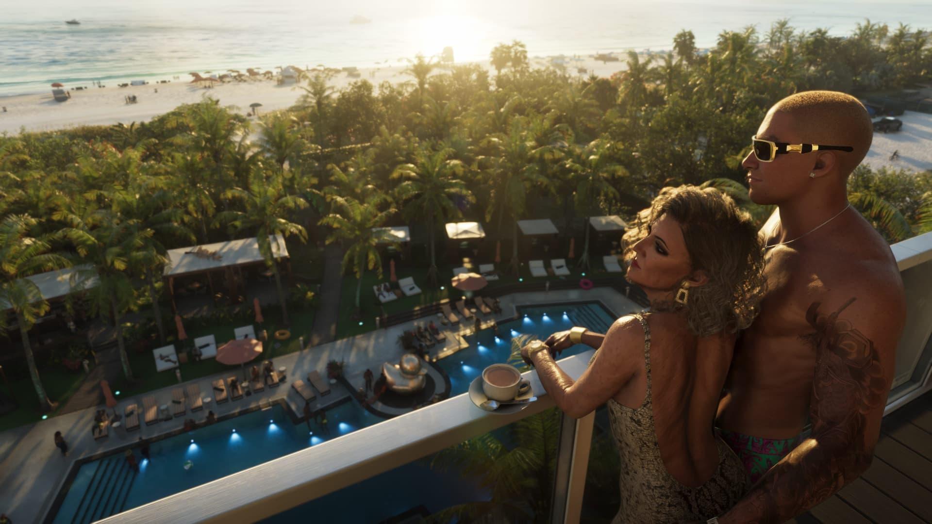
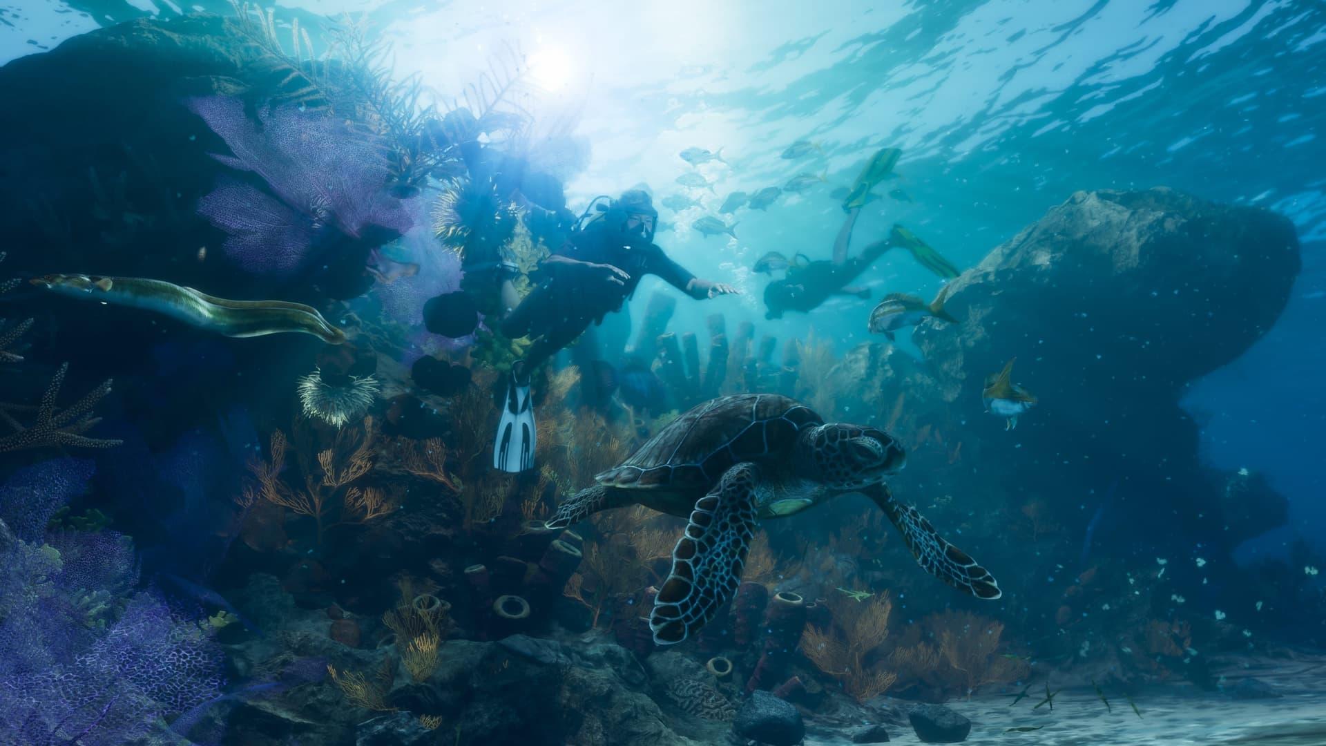
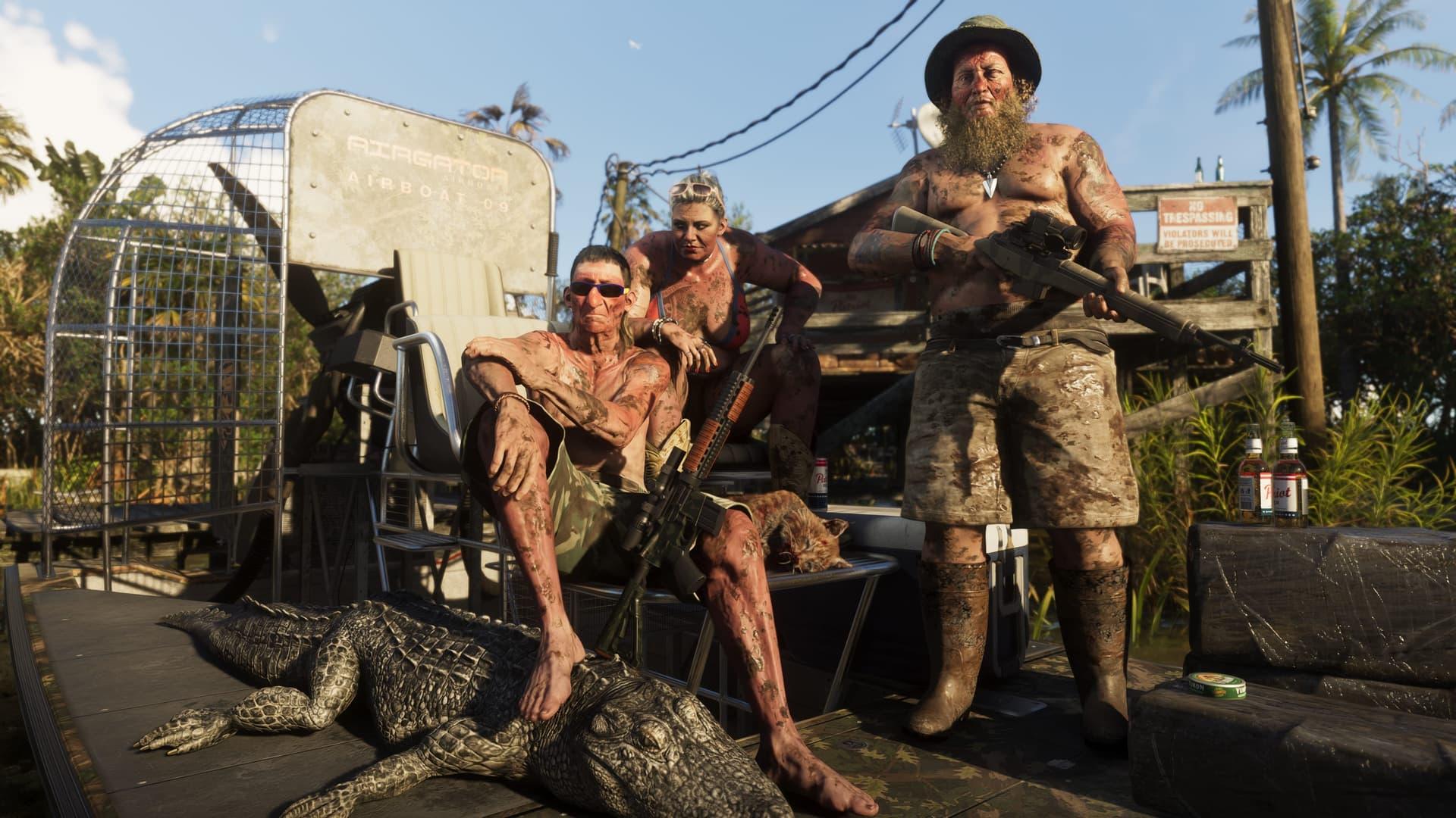
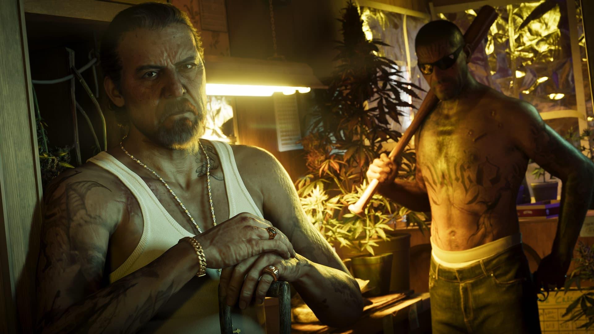
Related articles
More GTA 6 Deep Dives
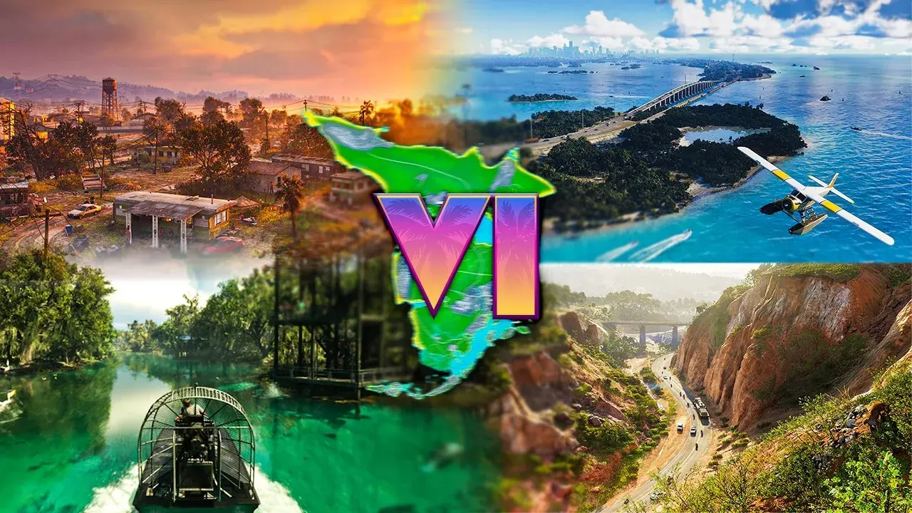 Every GTA 6 Location Explained: All Six Regions of LeonidaBerserker’s “EVERY GTA 6 Location EXPLAINED” tours all six regions of Leonida back to back, reading Rockstar’s own region panels against trailer and Extended Look footage. This article follows the same order, checks his readings against the frames and the site’s own knowledge base, and flags the two places where his narration and the on-screen text disagree.
 With Berserker
 GTA 6’s 12 New Game Informer Screenshots, Explained One by OneTGG walks through all 12 new GTA 6 screenshots from Game Informer’s issue 382 cover story in his video of September 29, 2026. This article follows his order: what each image shows, which names and places are his readings and not Rockstar’s, and where the site already covers the subject.
 With TGG
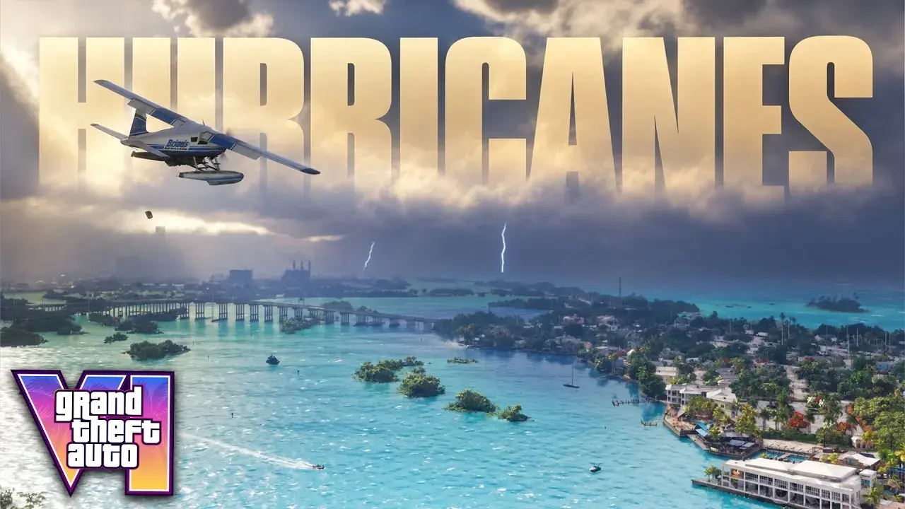
 GTA 6 Game Informer Cover Story: Everything New, From Hurricanes to RobberiesSubscribeForTacos scrolls and reads Game Informer's paywalled 14-page GTA 6 cover story (issue 382) on screen in a video published September 29, 2026. This article follows it section by section, quotes the Rockstar developers briefly, and sorts every item into new or already public.
 With SubscribeForTacos